5355 West
Herriman Main Street
Herriman, UT 84096
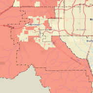
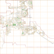
Keeping track of your city's assets
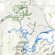
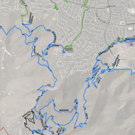
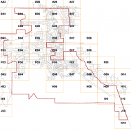
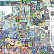
GIS is a valuable tool that maps and tracks City assets and infrastructure. This includes water lines, streets, sidewalks, trees, the stormwater system, and much more. Herriman City uses this information to keep accurate data on City assets and geography to facilitate informed decision-making.
Herriman City has three different sizes of maps that can be purchased at the City Hall. You can choose from the following maps:
Current and future planned developments in eastern Herriman
Safe walking routes and bus routes for Butterfield Canyon Elementary
Steven Brown • GIS Manager
Phone: 801-446-5323 | Email